|
| This is where you're headed. |
 |
| Turn at the Moose Track |
The chalets are in Moose Pass, Mile 29.9 of the Seward Hwy (30 miles from Seward)
Our Address is 35975 Seward Hwy, Moose Pass 99631.
GPS coordinates:
N60 29.974
W149 22.360
We are 90 miles south of Anchorage - normally 1.5 hours of straight driving. There are several things to see along the way so take your time and enjoy!
IF YOU'VE GOT A RESERVATION, GIVE US A CALL AT THE NUMBER PROVIDED YOU WHEN YOU'RE LEAVING ANCHORAGE TO ARRANGE CHECK-IN.
Scroll to the bottom for pictures of arriving at the chalets.
 |
| Chalets are the red dot in the middle right. |
Leaving from Anchorage there is only one road out-of-town, just find the New Seward Highway in Anchorage and head south.
You'll want to take it slower. Here's what you'll see along the way and how you'll know you're there:
 |
Gasing up at Huffman Rd & the New Seward Hwy in South Anchorage summer 2012. This is the last gas in town.
(the gas prices are higher at the two stations farther south in Bird Creek and Alyeska Hwy Jct. No more gas then till Seward.) |
 |
Driving along fjord-like Turnagain Arm
 |
| Beluga Point |
|
 |
| Beluga
Point- 3000 year old archaeological site used by the first Alaskans as a
whaling look-out. Mile 101.4 ("Hey", you say: "Those telescopes don't
look three thousand years old!" O.K. I'm no archaeologist- I just read
the informational signs like everyone else.) |
 |
| As you are driving along, you may be watched! Scan the rocks from mile 115 to 101 for Dall Sheep. |
 |
Two rams in the bushes.
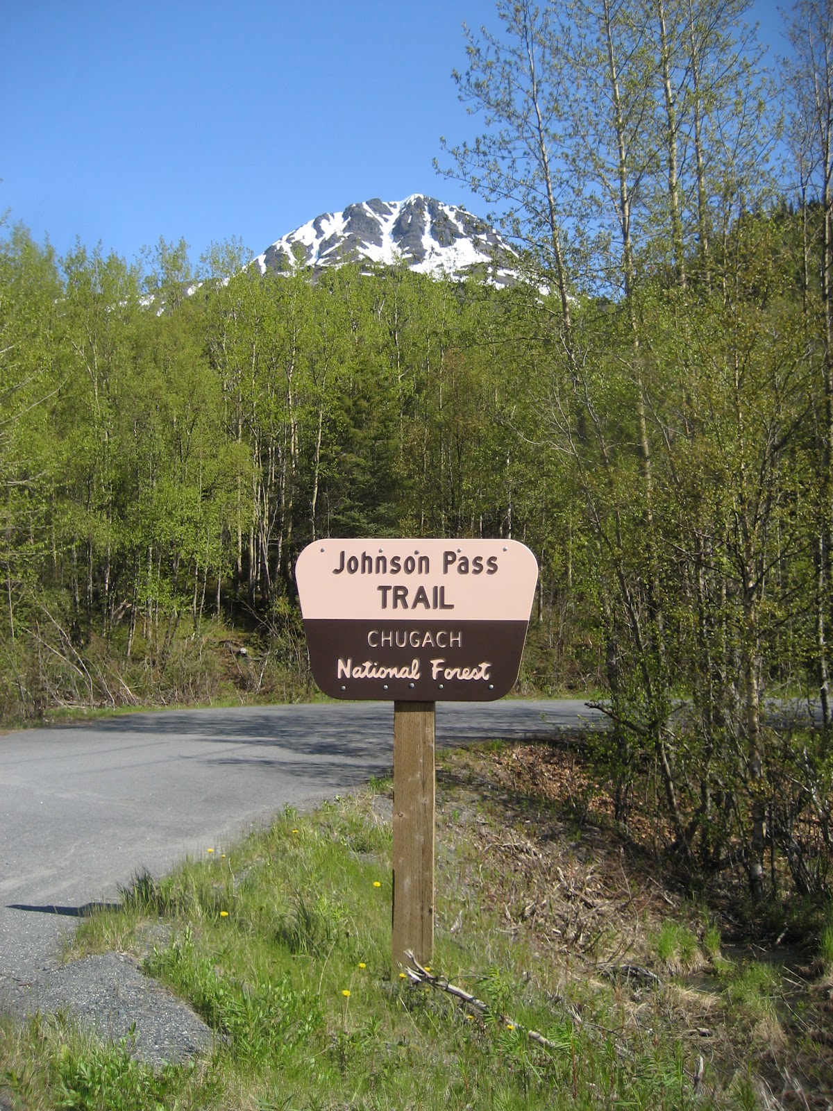
Mile 106+- look for the Windy Corner sign- there's pull out and trail that parallels the highway up on the mountainside.
|
Stop and pan for gold at Indian Valley Mine mile 103 (and see a whale skull up-close, too!)
 |
| Bird Creek mile 101.5- Pink and Silver Salmon fishing in season. If there's a crowd, the fish are in! |
 |
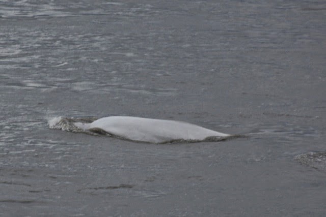
| Beluga whales seen from the highway. |
 |
Beluga whales stuck in concrete!
Bird Point wayside mile 96.5-boardwalk and short trails.
|
 |
| Portage Glacier 1989- Mile 78.9 circa 1970 |
 |
| Portage Glacier -Chugach National Forest Visitor Center |
 |
| Place River valley and a hanging glacier seen from the highway mile 77 or so. |
 |
Mile 75 Bottom of Turnagain Pass and you're on the Peninsula, and halfway to the chalets (45 more miles to go).
Pull over, take a group picture and give us a call on the phone number you were sent (you'll lose cell reception in 1000 ft.). No cell reception now for about 20 miles. |
 |
| Turnagain Pass looking North in Spring |
 |
| Same view summer |
 |
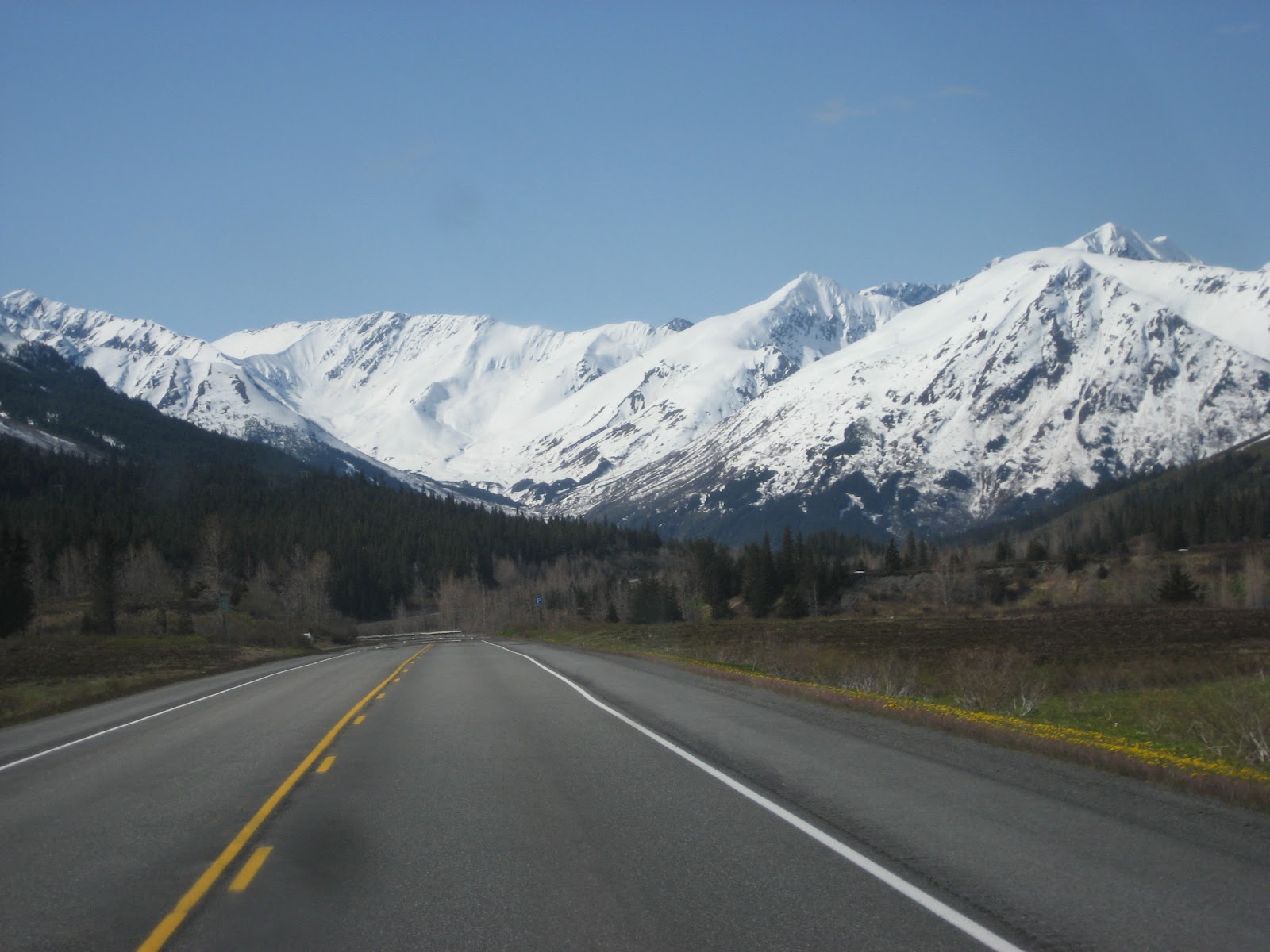
| Up and over the pass- not that high, but already at brushline |
 |
| Get
out and stretch your legs on short trails over rolling tundra
carpeted with wild flowers from pullouts on both sides of the road-
still forty miles to the chalets. Restrooms. |
 |
| Turnagain
Pass summit east wayside (restrooms) early Spring- trail here leads to a
snow-melt creek and through hemlock forest up a low ridge. |
 |
| Going down the southside in late spring. |
 |
| Canyon Creek Bridge mile 56 |
 |
| Canyon Creek pullout -26 miles to the chalets- marathoners can start running here (more restrooms) |
 |
| Summit
Lake Lodge and gift shop. 16 miles from the chalets. Stop here to get
ice cream, pick up a pizza, scones, or desserts. Or have
a delicious lunch or dinner in the restaurant. |
 |
| View of Summit Lake from the deck. |
 |
| First view of LV Ray Peak - the mt. behind the chalets, Jerome Lake on the right. |
 |
Seward-Sterling Highways "WYE"
The only place you can make a wrong turn - but ONLY if you turn.
Maintain heading and slow for the curve to the left headed for Seward. |
 |
| Tern Lake over-look |
 |
| Tern Lake |
 |
| Mile 33 |
 |
| LV Ray north face over Moose Creek |
 |
| Trail Lake Hatchery- mile 33 stop and see the little fishes (salmon fry) Lark Mt. in the background |
 |
| Mile 31 -Reduce speed- you're close now. |
 |
| Mile 30 - slow down and prepare to turn right - at the next clear driveway past the one you see here. |
 |
| You've arrived! Enjoy your stay! |
 |
| 9 tenths of a mile farther is the "town" of Moose Pass. Here's the Spruce Moose at "town center." There's a small store... |
 |
| Trail Lake Lodge- restaurant and bar... |
 |
| A Post Office... |
 |
| A church... |
 |
| and a water-wheel with a grind stone. Here's the Spruce Moose checkin' out the only Local Ordinance. |